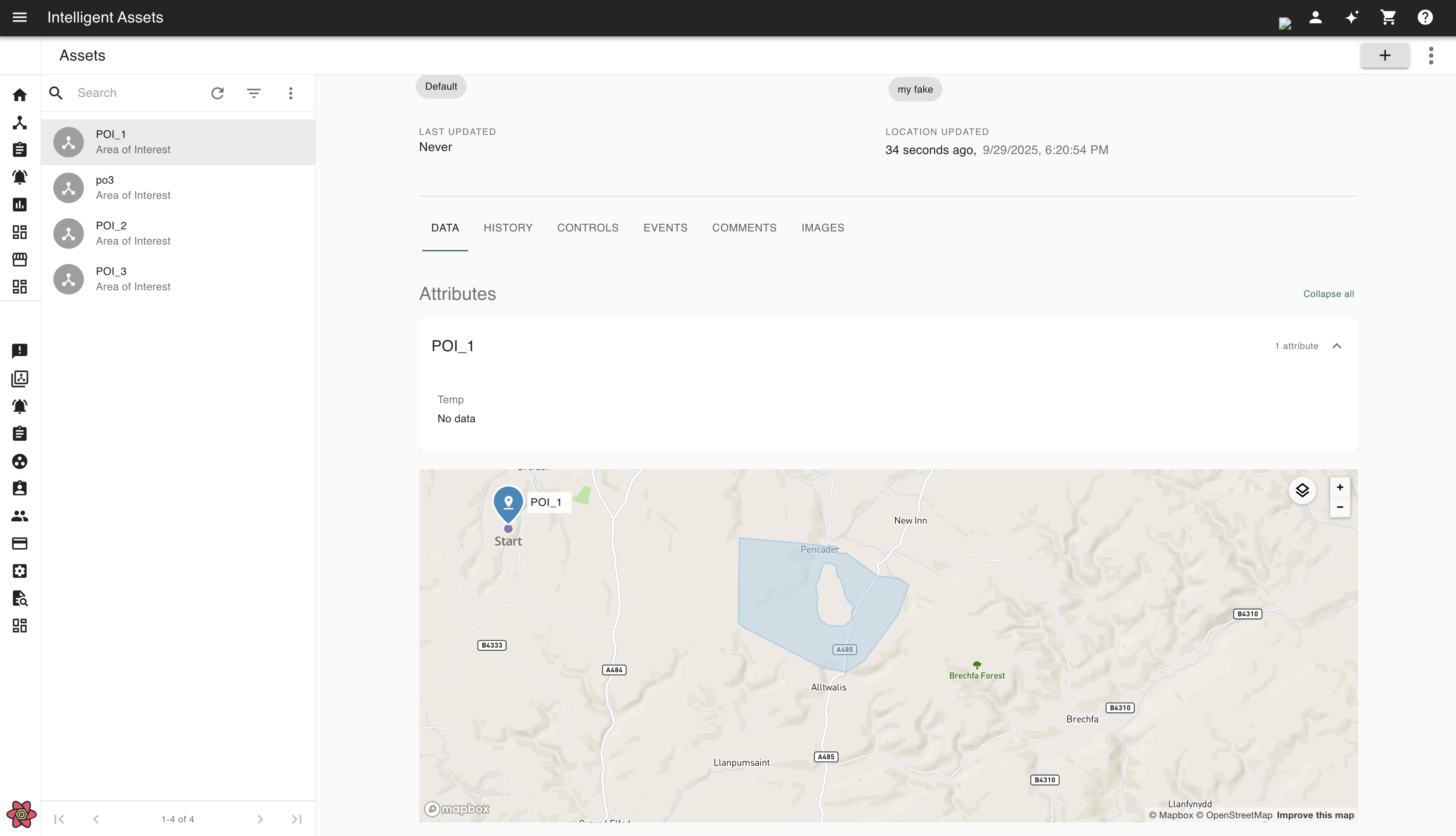
Intelligent Assets supports linking geographical areas for assets when an asset is being created or edited.
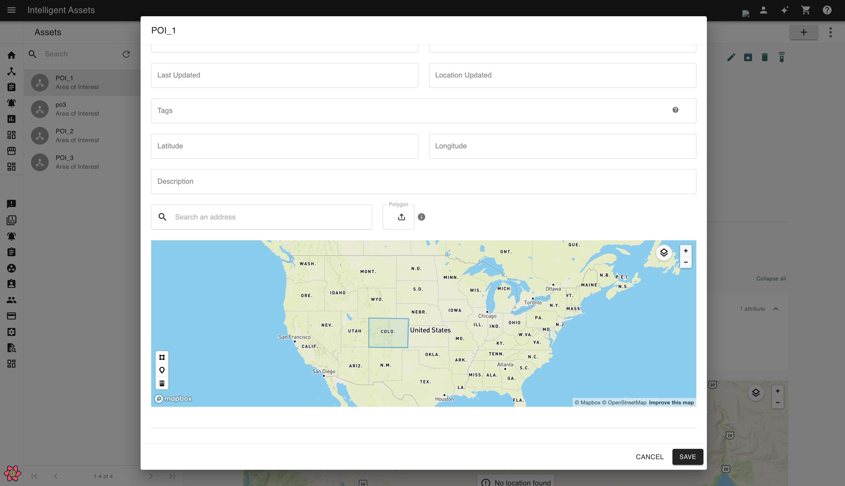
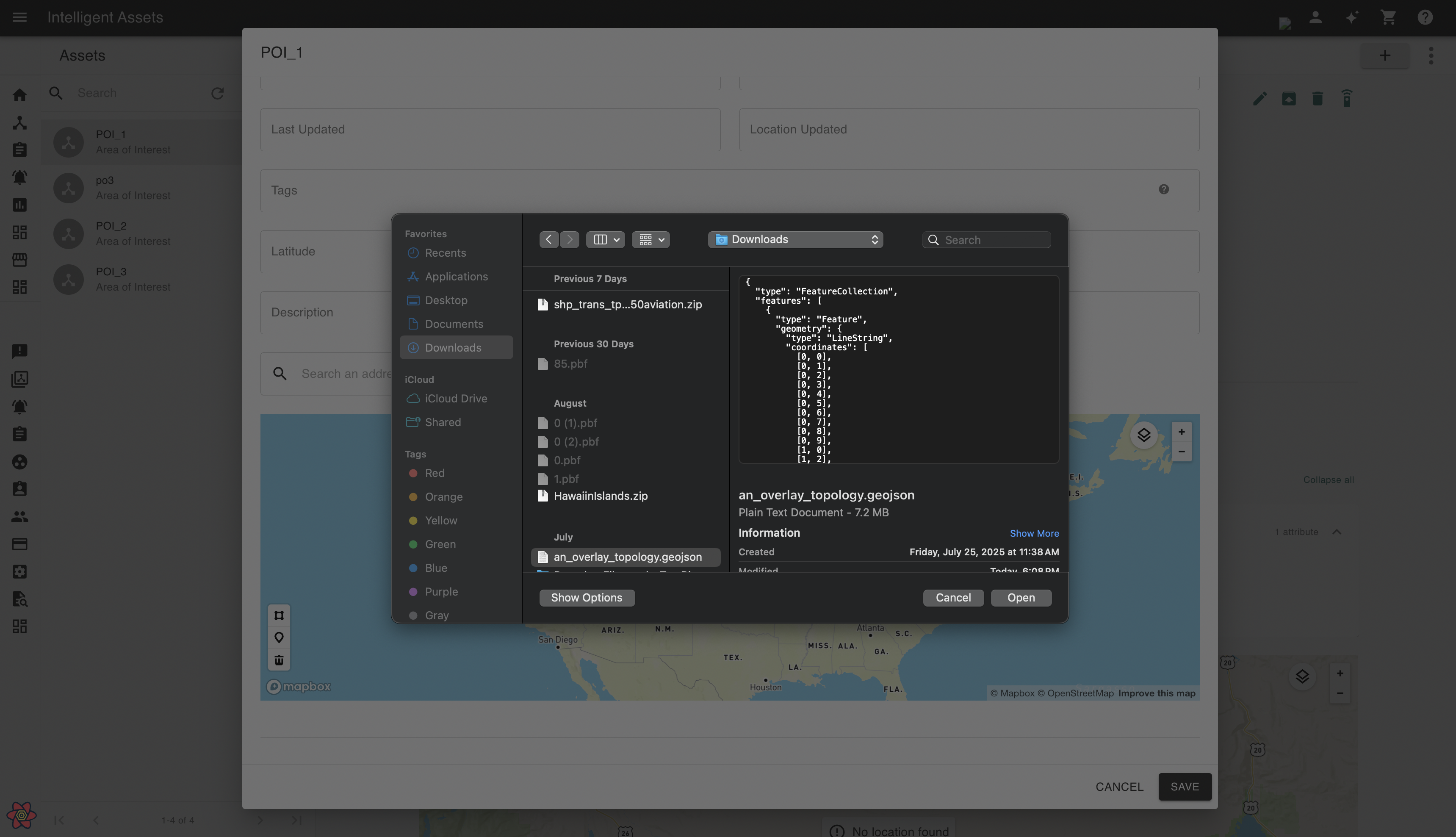
Users will now be able to upload geographically encoded information (supported formats are .shapefile and .geojson) which will automatically be parsed for relevant map data and associate that with an asset. Assets will support uploading GeoJSON areas using polygon and multi-polygon formats.
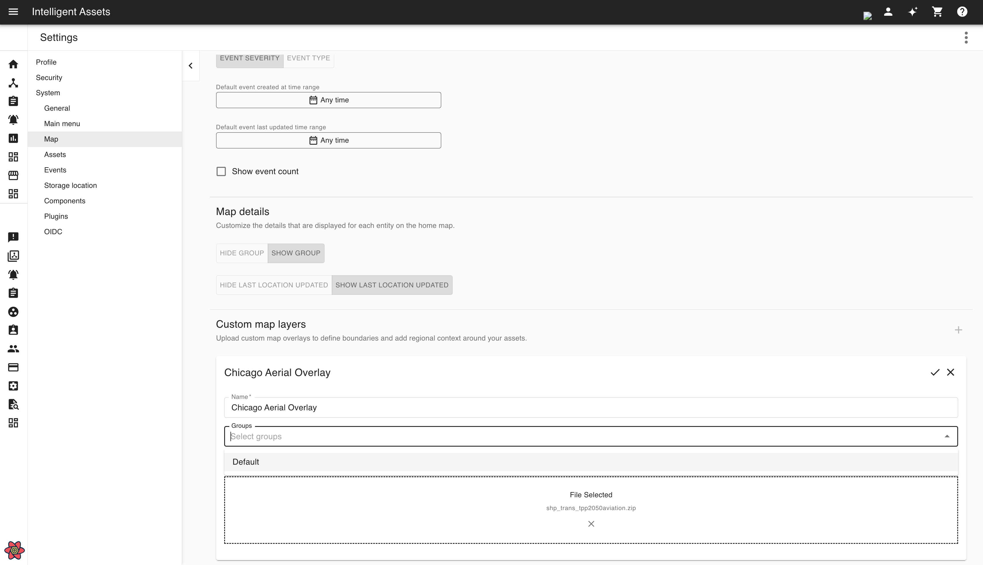
Custom area overlay
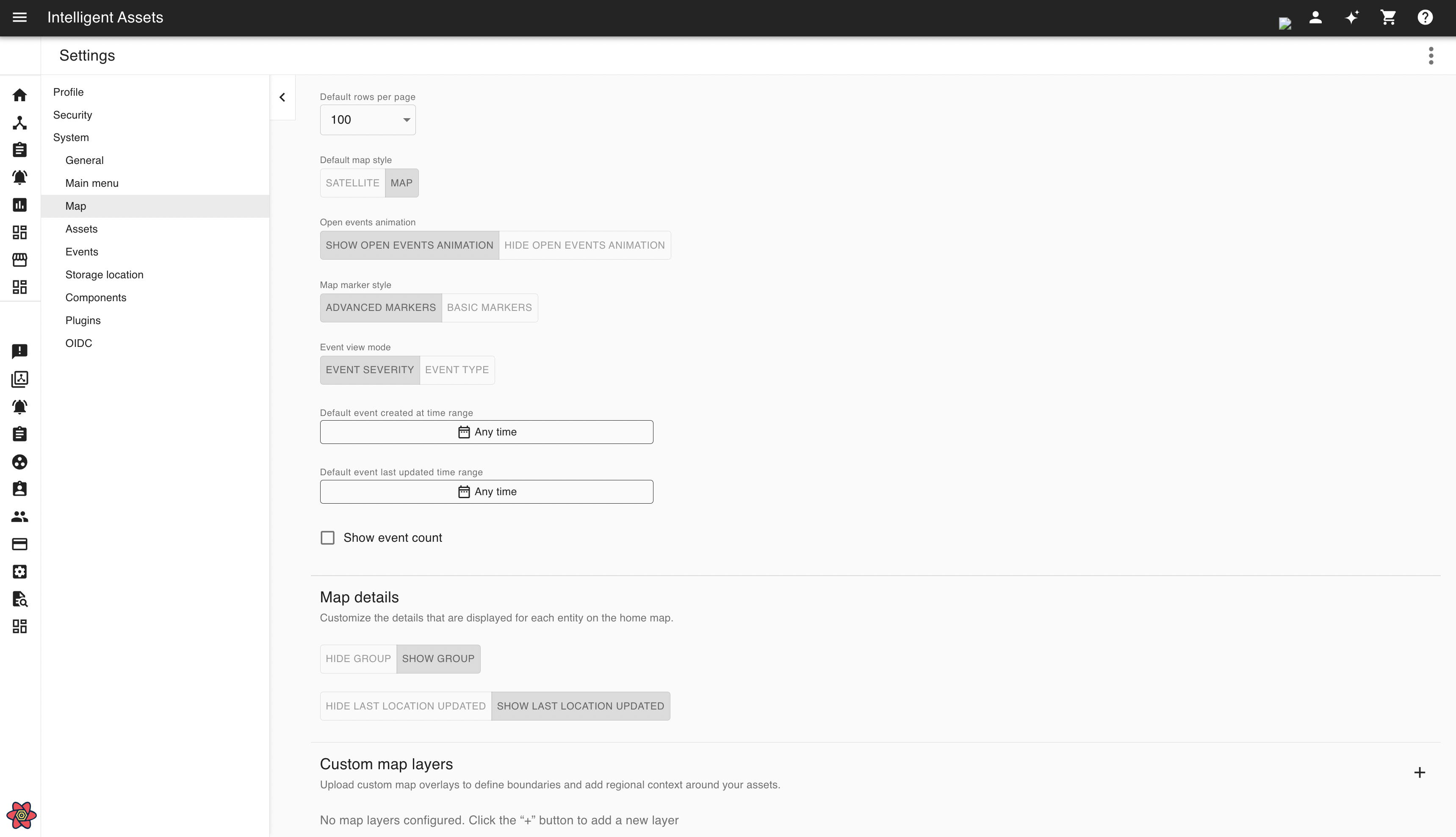
Users are also be able to upload custom area overlays that will be visible on all Intelligent Asset maps. To add a layer, navigate to the settings page and go to the maps section.
You can control the visibility of custom layers on a group-level by specifying which groups you want the layer to be visible for.
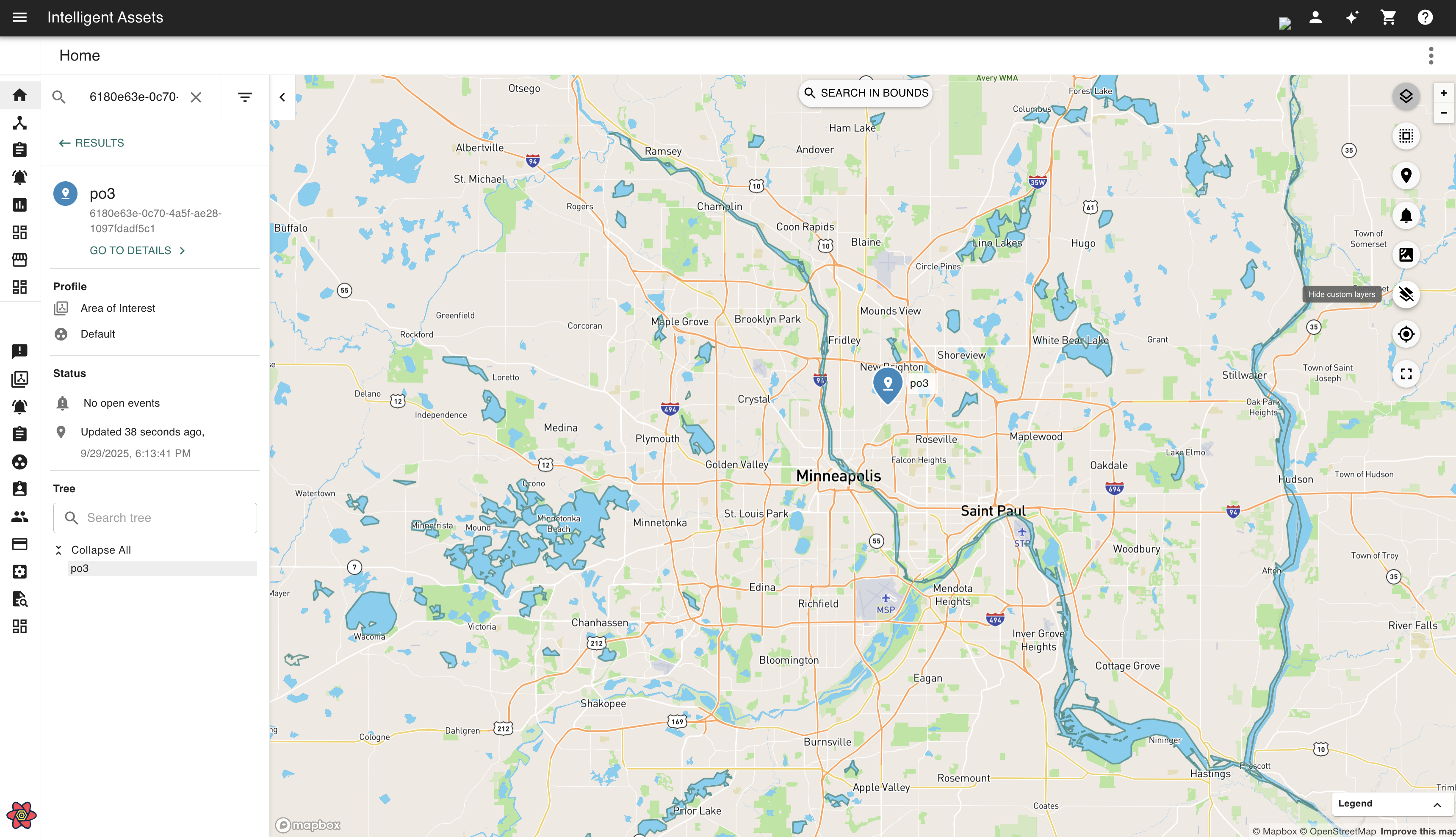
They can be toggled on/ off to control their visibility on your application view.